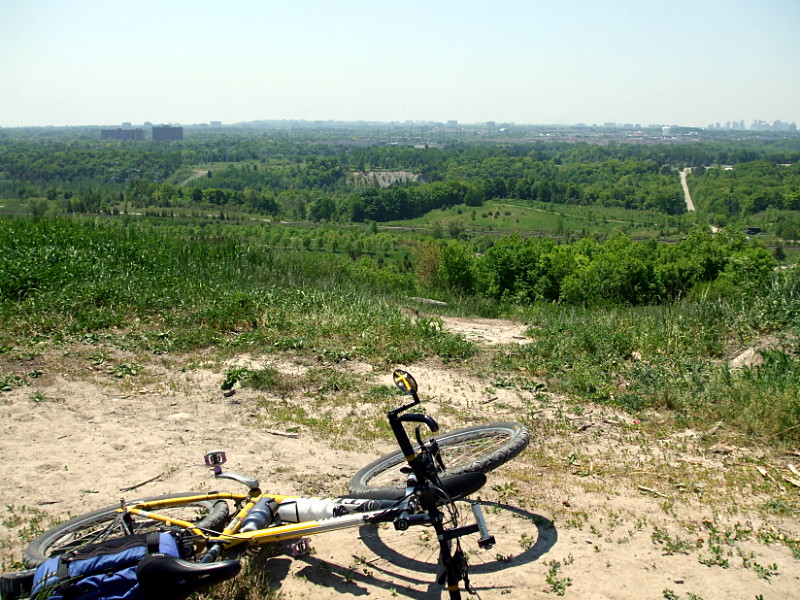
At only about 180 metres of elevation, the peak of the hill at the former Beare Road Landfill isn’t even close to being the highest point in Toronto (that honour goes to the intersection of Keele & Steeles at 209 metres), but it is one of very few places in the city that offers an uninterrupted 360° panorama of the surroundings. The peak is in the far northeastern corner of the city but it’s not at all hard to get to: a few minutes’ walk from the Toronto Zoo parking lot or a few minutes’ bike ride from the end of the Gatineau hydro corridor trail will get you to the base with energy to spare for the quick climb up.
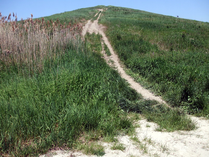
There’s an easier way to the top than the trail below, but I made it about halfway up this path before running out of steam and dismounting to carry my bike up the rest of the way:

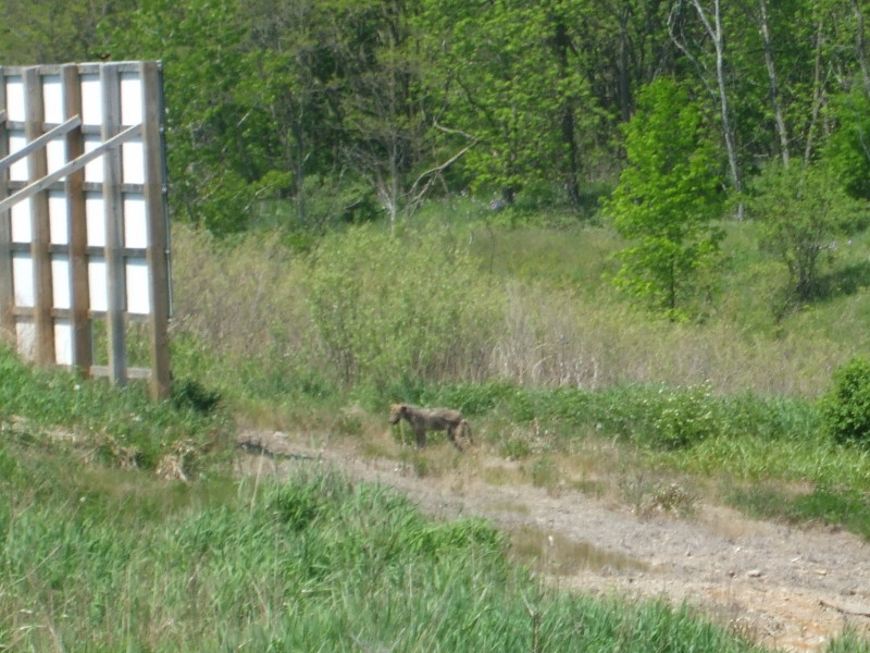
This coyote was reading a big sign about habitat restoration in Rouge Park:

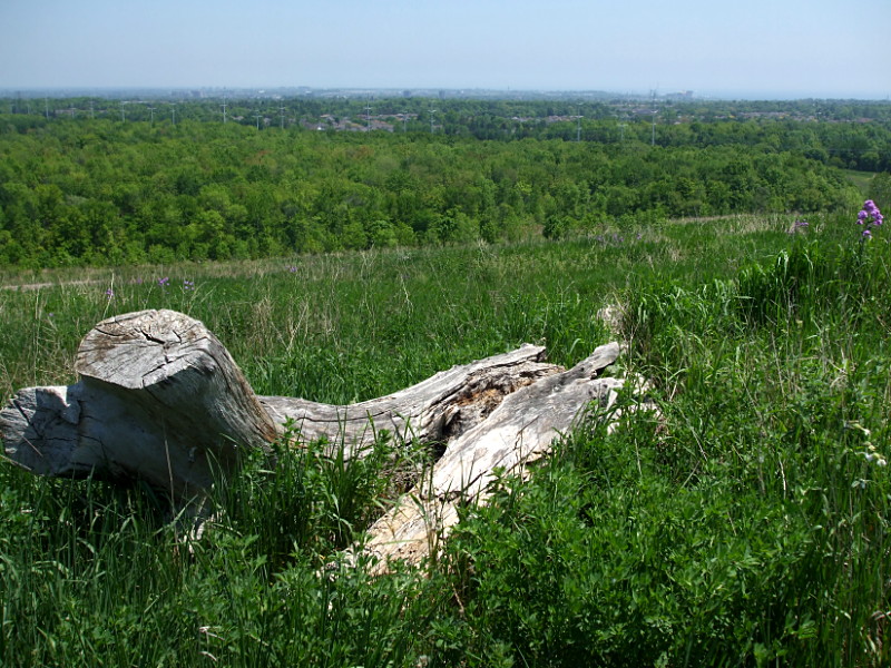
It was too hazy to see the 27 km-distant CN Tower (it would be on the horizon somewhere to the left of the road in the top picture), but the Pickering nuclear plant and wind turbine are just 7.5 km to the southeast and visible as the lumps on the horizon near the right side of this picture:

Do you have a route recommendation for biking up there from the mouth of the rouge river?
I usually ride across the Rouge rather than along it, so I’m not terribly familiar with possible north-south bike routes. As a first stab though, I might take Rouge Hills Drive (at the entrance to Rouge Beach) and then Island Road up to Port Union Drive, where it would be a short jog across the 401 to the bike lanes on Sheppard. Turn north up Meadowvale, follow the signs for the Zoo parking lot on the east side of the road and just keep following the road rather than turning into the parking lot. It’ll take you right to the hill.
And I did in fact ride that route this week. The two blocks on Port Union Drive are unpleasant, but better than other crossings of the 401 that I usually deal with. The rest of the ride was on bike lanes or quiet suburban streets.