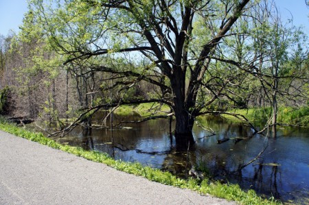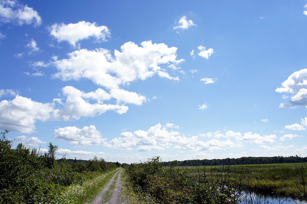
A wetland view from the Lindsay to Bethany rail trail.
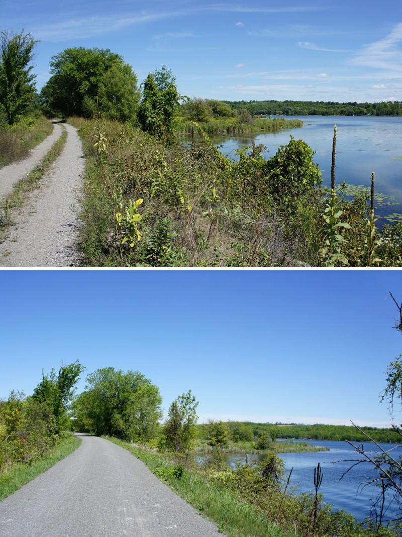
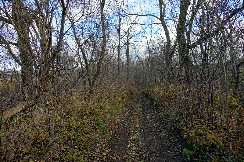
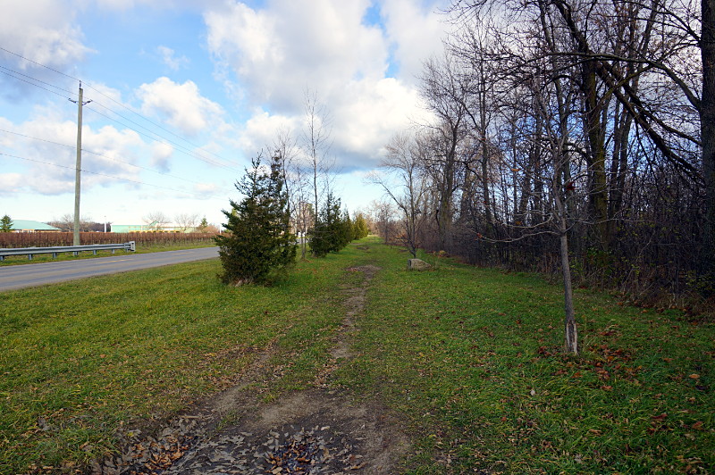
Continuing my exploration of the many rail trails in the Greater East Dodgeville Area, I rode the Lindsay-Bethany trail last month. The trail runs southeast from Lindsay to Bethany and is the southernmost section of the Victoria Rail Trail, which runs all the way up to Haliburton. Like most trails in the area, the surface is highly variable, sometimes changing between loose gravel, sand, mud, grass, and crushed gravel all in the course of a few hundred metres. At the very southern end past Bethany, a portion of the trail has perfectly spaced and sized depressions; it feels like riding a mini pump track and is way more fun than you’d expect riding on a straight rail trail would be. Most of the trail is hard-packed double track that’s easy enough to ride on, but you do have to be ready for the occasional potholes and surface changes that come with a trail that isn’t quite up to Trans Canada Trail standards like the Omemee and Hastings trails are. I seem to say this of a lot of trails, but I wouldn’t recommend it for hybrids or road bikes. It’s quite acceptable on a decent mountain bike, with or without front suspension. Of all the trails I’ve been on recently, it’s also the most heavily used by ATVs: I encountered close to a dozen of them in the first few kilometres riding out of Lindsay on a sunny Sunday afternoon, though there were none on the last half of the trail to Bethany.
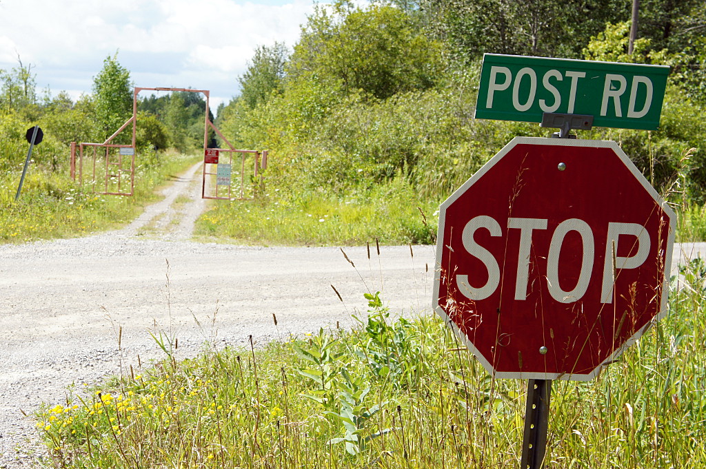
You always know where you are on the Lindsay-Bethany trail
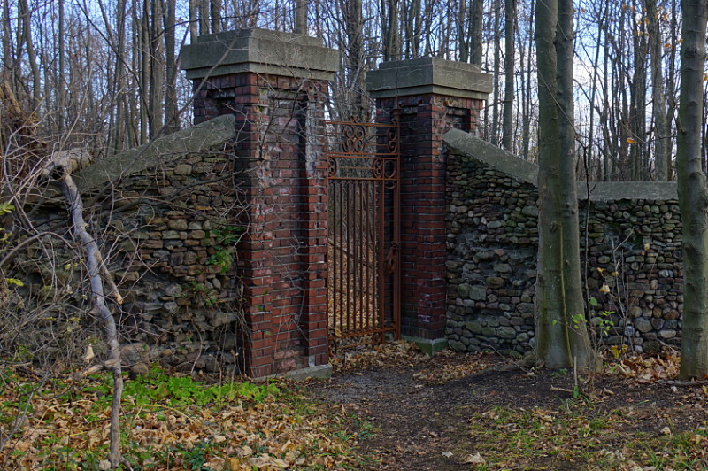
One thing does set the Bethany trail apart from all of the other trails I’ve been on recently: it feels very isolated. While most other trails pass behind backyards and farm fields, the Bethany trail spends a lot of time skirting large wetlands and valley forests while the Pigeon River and Fleetwood Creek meander back and forth with no farm fields or houses anywhere in sight. Even road crossings become rare on the southern half of the trail, making the whole experience feel more wild and natural than other trails, even knowing that the farms and quarries are still there, just a little out of sight.
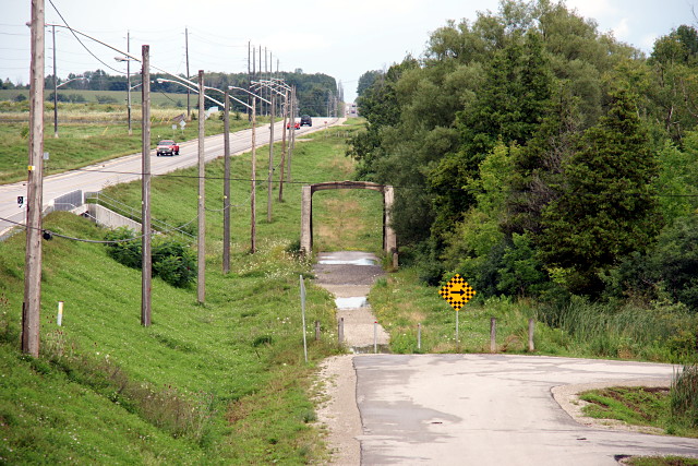
Another rare sight is clearly visible at every intersection where the trail crosses a road: signs! No, not the stop signs, but honest-to-goodness street signs. It’s the first trail I’ve been on where every intersection is marked so that you don’t have to guess which road you’re crossing. It’s a wonder that more trails don’t have this simple nod to the fact that people may want to know where they are.
Read on for the ride gallery.