Landscape Architect David Leinster of The Planning Partnership presented his group’s recommendations for the future management of Crothers’ Woods at a public meeting last night. The meeting was attended by about 30 people, less than half of the number that attended the initial consultation in November. I suspect the lower turnout was because the meeting wasn’t widely publicized — I only found out about it from a post on the Don Watcher blog and couldn’t find any mention on the City’s web site.
-
Map of Crothers’ Woods
- map
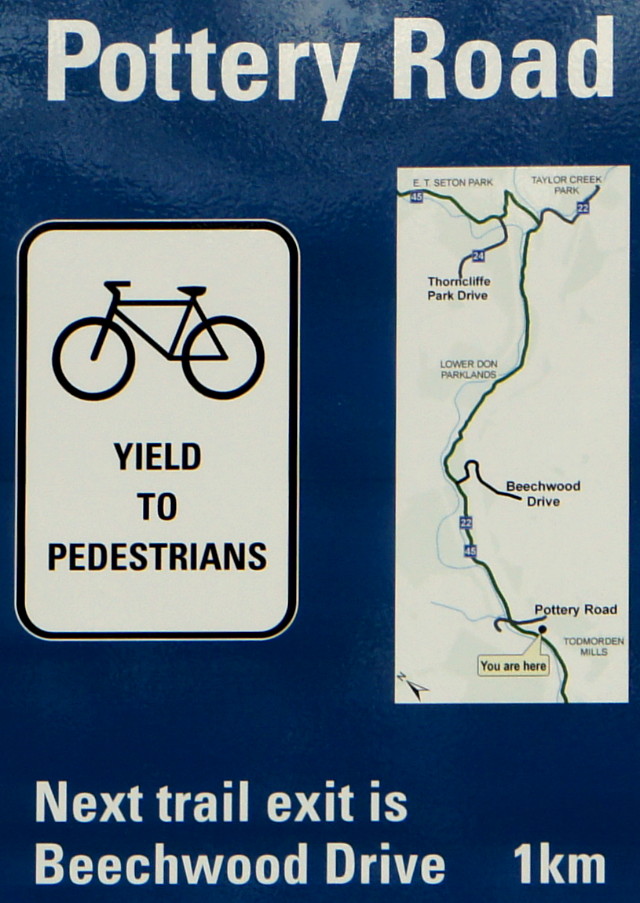
- Pottery Road trail head
- map
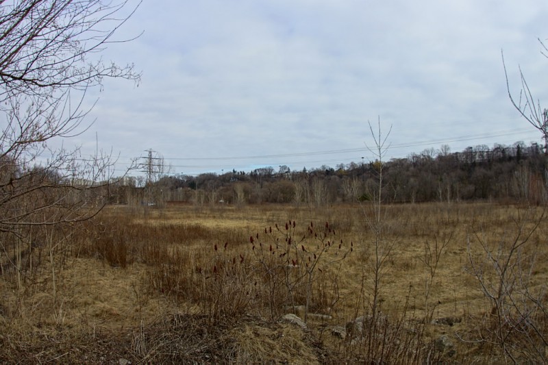
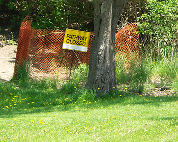
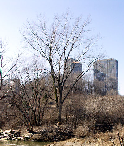
- The Flats
- map
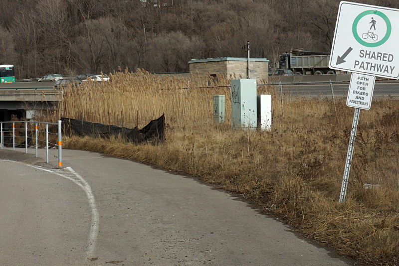
- Trail head behind Loblaws
- map
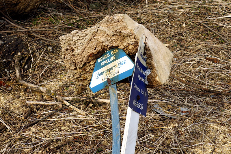
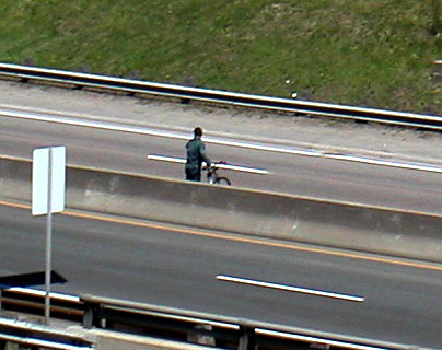
- CN tracks
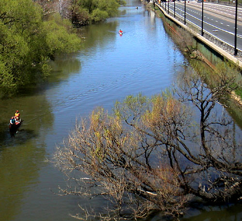
You have to cross these tracks to get to the Flats
- map
- CP tracks
These mark the western edge of Crothers’ Woods.
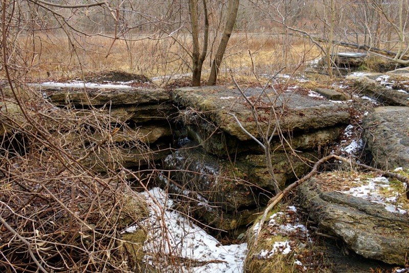
Crothers’ Woods is an environmentally sensitive area in the Don Valley bounded roughly by Pottery Road & Bayview Avenue to the south, the CP tracks to the west, Millwood Road to the north, and the Don River to the east. Although it has no formal access points, it is a very well-used park. Identified users include hikers, dog walkers, trail runners, orienteers, school groups, and birders, but mountain bikers are the primary users of the park by far. They have created an astounding array of trails complete with ladders, teeter-totters, and other constructed elements to make the trails more interesting and challenging. Unfortunately, they’ve also created a looming ecological problem because the current trail system increases soil erosion and instability.
The primary issues that the master plan addresses are restoring the natural environment where it has been degraded by human activity and invasive species, and mitigating the further negative effects of human activity. It sets out a variety of common-sense measures to meet these goals, including native species plantings and “manual” plant control (which I took to mean “weeding”).
As for the trails, they’ll be realigned in many places and closed in the most sensitive or degraded areas. Of approximately 10 km of existing trails, 1.8 km are slated for closure. The rest will be realigned along natural contours of the land where necessary and will be managed along sustainable trail building principles as identified by the International Mountain Bicycling Association.
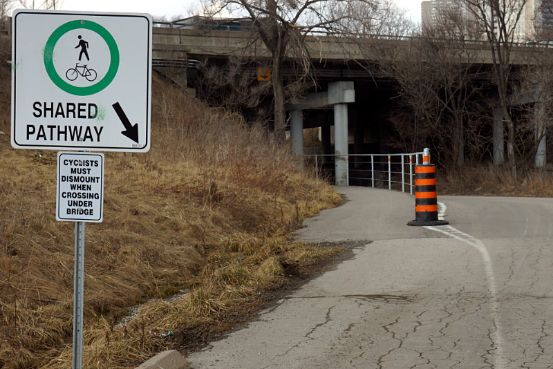
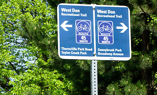
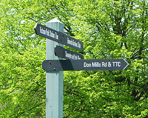
Also included in the plan will be new directional and wayfinding signage on the trails. This will help cyclists like me stay on the beginner trails and go in the right direction at a fork in the trail. Access to the park will be upgraded from about 10 informal access points to a half-dozen formal trail heads with information kiosks, community bulletin boards, trail maps, and other information. Two of these trail heads, at the base of Pottery Road and behind the Loblaws on Redway Road, will include parking.
Most of the above is non-controversial. The same can’t be said for the plan to close off access to the area known as “the Flats.” A Don Watcher entry provides some background detail about the Flats, including pictures. The study identified this area as among the least ecologically sensitive, so why is it being closed off? It’s all to do with the railway. The area is in a bit of a no-man’s land, requiring users to cross the CN tracks that run along the bottom of the Valley. Unfortunately, the crossing is illegal. CN has been unresponsive to the idea of installing a legal crossing in the area, so the architects of the master plan felt they had no choice but to cut the Flats off from the rest of the park.
End of story for the Flats? Well, it could have been if not for the public consultation. A couple of people at the meeting asked why it wasn’t possible to put bridges across the river, joining the Flats to the main paved Don pathways near Beechwood Drive and Don Mills Road. This would effectively do away with the troublesome railway crossing and enhance access to the Flats.
The answer from the City’s representative, Garth Armour, was that it had simply never occurred to them. He added that he’d look into the possibility, and that there might even be money in the budget for it. So the Flats may be saved after all.
I mention this incident not to condemn the City or the master planners, but to underscore the value of public input into the process. Sometimes, it takes an outsider to point out a painfully simple solution to a room full of experts. It’s not that the experts are stupid, it’s just that the process can become so focussed on one aspect of a problem (how to join the Flats to the rest of Crothers’ Woods across the railway tracks) that they can’t easily see an external solution (join the Flats to the rest of the Valley park system instead).
I’ve been in similar situations myself, where a group of like-minded professionals are concentrating on solving an intractable problem. Then someone else comes along with a dead-simple suggestion and we feel like complete idiots for not seeing the obvious. It’s the professional equivalent of ranting at technical support because your computer is broken, only to discover that you forgot turn your monitor on.
We won’t know until the final master plan is delivered to the city in a few weeks whether the bridge idea or some other idea for the Flats is considered feasible. Either way, implementation of the plan is slated for 2008.