Cottonwood Flats Slab City


Slab City in Cottonwood Flats

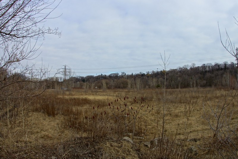
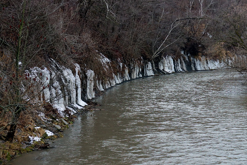
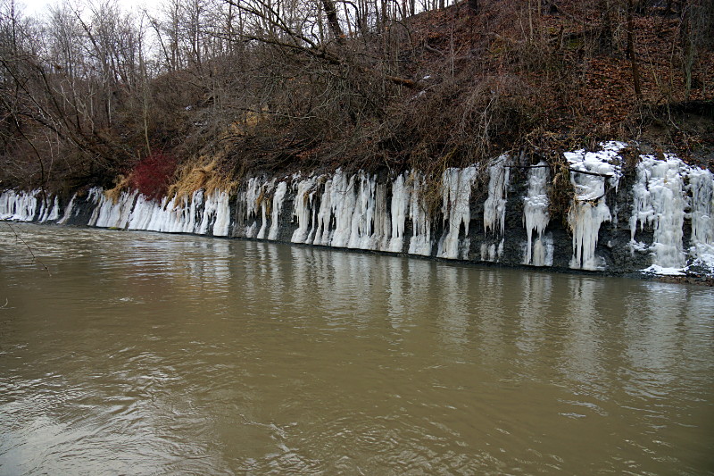
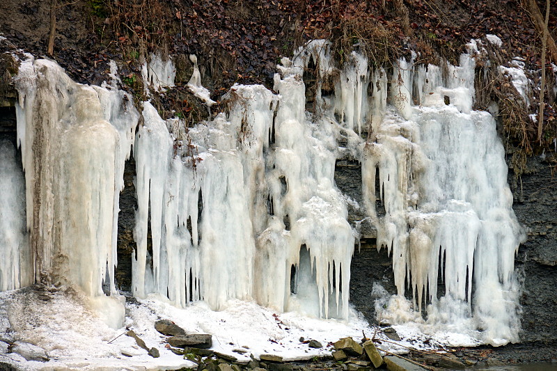
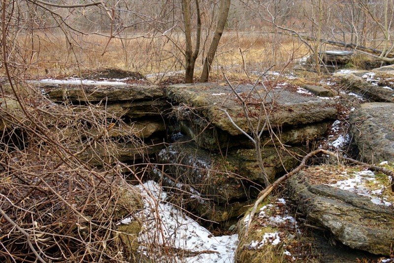
The strangest thing in Cottonwood Flats is what my fellow Don Valley explorer Rudy Limeback calls “Slab City.” That’s as good a name as any that I can think of, so I’m going to run with it. Slab City is a series of concrete and asphalt slabs piled about 5–7 feet high that runs along the bank of the Don River in Cottonwood Flats. A very short portion of Slab City is visible in this view from Bing Maps as the jumble of big square rocks near the middle of the frame. I don’t know anything about the origin of the slabs, or when or why they were placed along the river. I do know that their placement predates my first bike ride around the site sometime in the late 80s. They are all reinforced concrete and some have a layer of asphalt on top of them, so I’d speculate that they were part of a bridge deck at one point. The Leaside Bridge was rebuilt in the 1960s and is close enough that this site would have been a convenient dumping ground. That’s just conjecture, though. A more fanciful conjecture is that they’re the remnants of the Bayview Ghost. Note that I don’t actually believe this to be the case, but wouldn’t it be awesome if it was? Check out the short gallery of Slab City below the fold.

Read More …

Cottonwood Flats

Overview of Cottonwood Flats

Cottonwood Flats [PDF] in the Don Valley is no stranger to industrial degradation. Before being used as a snow dump by the city, the site was home to a series of mills and factories beginning more than 200 years ago (here’s an interactive map of Cottonwood Flats, Crothers Woods, and adjacent areas). I remember tooling around the trails on my bike and navigating around the big sloppy pile of dirty ice and garbage that still towered overhead in the middle of the valley floor as late as June some years. Recognizing that it’s not really a good idea to use a site that drains directly into the Don River as a dumping ground, the city finally ended its use as a snow dump in 2009. It has since been renaturalizing and there is supposed to be a new management plan that I haven’t been able to find online.

As you can see from the picture above, Cottonwood Flats in winter is very much a reflection of Toronto itself at this time of year: flat, barren, and relentlessly brown. With the DVP just across the way, the Bayview Extension at the top of the hill, and two railways nearby, there’s no mistaking this for a bit of pristine wilderness in the middle of nowhere. At first glance it seems like little more than an overgrown field beside a noisy highway, but the site’s edges, especially along the river, are filled with winding paths that carry you to a variety of interesting nooks and crannies. In the last few years, it’s also grown to be a much more popular destination for cyclists, families, and especially dog walkers. I’ve seen more people on my two recent visits this winter than I ever used to during the summer. Read below the fold for the first of two short galleries (or second of three, if you include the one from a couple of weeks ago) looking at a few of the interesting sights.

Read More …

Cottonwood Flats ice curtain

Ice curtain around the Don River

There’s an interesting sight on the Don River north of Pottery Road. Just across the river from Cottonwood Flats, a series of icicles dripping from the hillside create an ice curtain that curves for about 200 metres along the river bank.

Ice curtain around the Don River

Although a few of the individual icicles can be traced to water channels that trickle down from the top of the hill, most seem to sprout from the hillside just a few metres above the river:

Ice curtain detail

Given the extent and uniformity of the ice, my guess is that most of it comes from groundwater seeping into the river at this location.