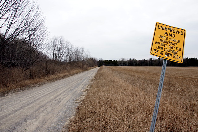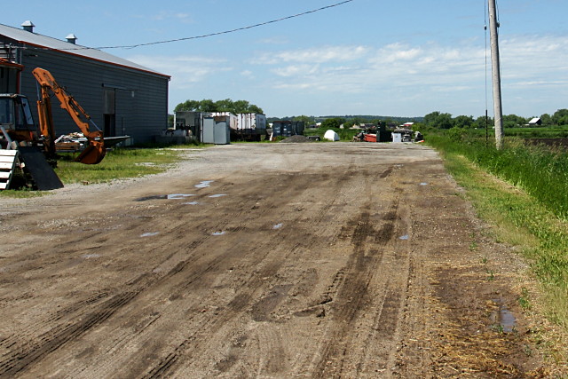
It’s not called Steeles Avenue all the way out here (we even left the street’s other moniker, Taunton Road, behind a long time ago), but if you start at Yonge Street and travel east for 79 km on the same road across the top of Toronto and through Pickering, Ajax, Whitby, Oshawa, Taunton, Hampton, and Orono, you eventually end up on Concession Road 6 just past Gilmore Road, looking at this sign and wondering if your car has better traction than farm equipment. The answer? The road is fine for a little while, but a soft and sandy stretch was enough to turn me back today. I would have investigated the extra half-block, but I was both bikeless and time-constrained. That’s the problem with exploring in a car: you’ve definitely got more range, but it’s much harder to make detours. Also, if your car gets bogged down in mud, you can’t just throw it over your shoulder and carry it back to more solid ground.

