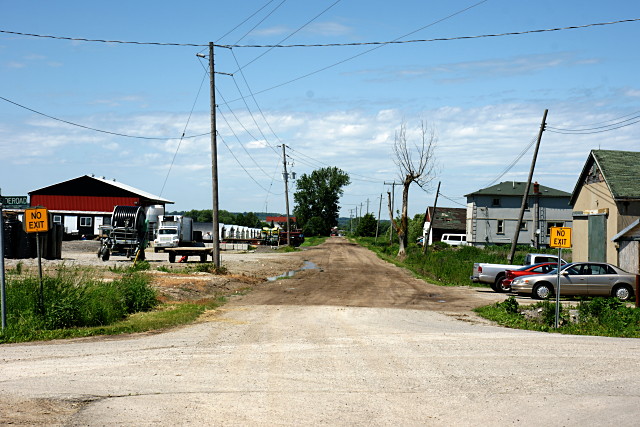
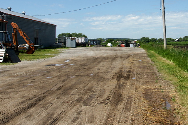
This is the first in an occasional series showing what lies at the end of some well-known (or not-so-well-known) Toronto streets.


Dufferin Street stretches from its start at British Columbia Drive all the way past Graham Sideroad in the Holland Marsh before ending its 55 km journey at a rubbish pile.
Coming up: a tour of Dufferin north of Steeles.
Update: I’ve posted the complete tour.
The Dufferin jog at Queen Street in Toronto has nothing on the jog at Highway 9.
I’d never heard of Ansnorveldt. Looking forward to further posts from “up north”.
I hadn’t heard of it either until I rode through it. I’ve got a little more information about it in my upcoming post about the trip up Dufferin.
Boys, boys, boys! Asnorveldt is the home of many famous Adverse Water Quality Incidents. Do you not read annithin? F’rinstance:
http://www.york.ca/NR/rdonlyres/huvglp236i77sz4yix2qdyhtrrgwg32abruxcixvvt7kf4vzumua7bdavjscdiundo5opkldzv6ijxmbjeaotd5doe/2003+Jan-Mar+Ansnorveldt.pdf