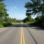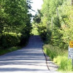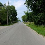
How long does it take to ride up Kennedy Road to Lake Simcoe? Almost two months, apparently. As I mentioned before, it took three attempts (and two bikes) starting at the end of June for me to complete this trip. Kennedy Road is an interesting contrast to Warden, just two kilometres to the west and my more usual route north: Kennedy seems much more wild, with fewer farms and estate houses, and more forest and overgrown meadows. Kennedy also has less industry than Warden, fewer golf courses, and less traffic. The downside is that it’s also somewhat poorly maintained, with many kilometres of the road through East Gwillimbury cratered with potholes and only haphazardly patched in a way that makes it rather bike unfriendly. Still, it’s a very peaceful ride. The landscape feels less constricted than on Warden, with several sweeping vistas that you don’t see from the other northbound routes.
One of the things that I like most about riding out of the city is watching streets take on completely different characters. Two of my formative years were spent not too far from the foot of Kennedy Road in Scarborough, where it’s a sleepy residential street. Most people are familiar with the big box hell of Kennedy Road from Lawrence to Sheppard. That’s followed by the suburban thoroughfare of northern Scarborough and Markham, which gives way to a quiet concession road and a lazy country road before finally ending up at a beach in a little cottage area. It may all be one street, but it has at least eight distinct phases from beginning to end.
Before these rides, the only part of Kennedy north of Sheppard that I’d ever ridden on was the 400 or so metres between Ravencrest Road and Mount Pleasant Trail, where it forms part of a nice big diagonal shortcut from Woodbine to McCowan on the way to Sutton.
Read on for the full gallery treatment of my ride up Kennedy Road.
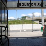
- Two of my rides began at Kennedy Station on the Bloor-Danforth subway. For the third (and ultimately successful round-trip), I began from home.
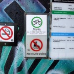
- At the entrance to the station, the handiwork of the Urban Repair Squad is as fresh as the day it was installed seven months ago.
- Nothing is more welcoming than a giant inflatable gorilla on the roof of a store. I can't remember the last time I actually bought something at Tele City Electronics. Probably around 1984 or so, when I bought a Koss Music Box at the old Yonge Street store.
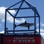
- The shark on the roof of Big Al's is one of the few Kennedy Road landmarks south of Steeles.
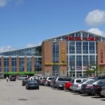
- At Steeles, the Pacific Mall beckons with promises of hot deals on all manner of items.
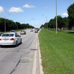
- Who says there's no room to accommodate bikes here? Just a fifth of that grassy boulevard would be more than enough to put in fully separated bike lanes. The suburbs could be absolutely covered in bike lanes without taking any space away from cars or pedestrians.
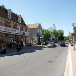
- The best thing you'll see on Kennedy Road in Markham isn't even on Kennedy Road any longer: Main Street Unionville was preserved after a plan to widen the road turned into a bypass instead. The historic area remains a pedestrian-friendly oasis surrounded by more typical car-friendly suburbia.
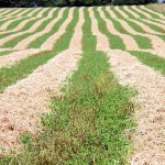
- Heading north, the first working farm you encounter on Kennedy is at 16th Avenue. The fresh hay had just been cut the first time I rode by.
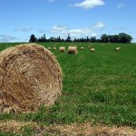
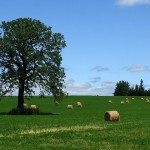
- A week after my first trip, the hay had been baled.
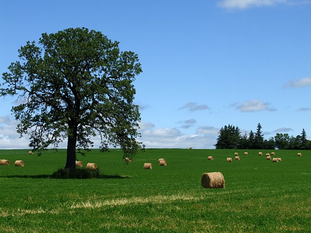
- For some reason, I always have to take pictures of bales of hay in a field. Multiple shots, multiple angles, every time. You wouldn't believe how many pictures of hay I have in my collection. I'll spare you the other 20 hay pictures I have from this trip.
- Near the historic Berczy settlement and cemetery, a farm stands firm against the encroaching suburbs. These ones are coming in from the north. I wonder how many times developers have knocked on the door and asked the farmer to name a price.
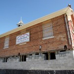
- At Major Mackenzie Drive, the 1862 Colty Corners Schoolhouse has been moved in preparation for a new development (PDF).
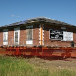
- Another historic building on the move sits at the corner of a corn field just a couple of kilometres north at Elgin Mills Road. House moving seems to be big business in Markham.
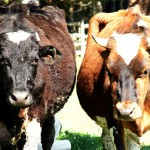
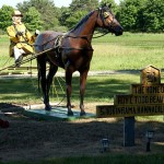
- The Kennedy Road Bovine Welcoming Committee is a little less friendly than its Dufferin Street counterpart.
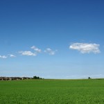
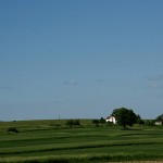
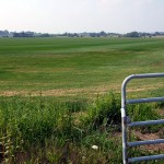
- Lush farm fields dot the landscape.
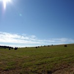
- I know I said I'd spare you more hay pictures, but here's another one anyway. I think that this field was concealing a quarry behind it.
- From the top of the Oak Ridges Moraine, you can look back down Kennedy Road and see Toronto in the distance.
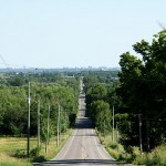
- Looking north from the top of the Oak Ridges Moraine, Kennedy Road stretches to the horizon. There's still a lot of riding to go.
- The Big B Ranch is the home of at least one person and four horses. Or two people named Roy and Smokinrama.
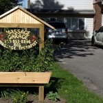
- After a couple of hours on the road, a stopover at the Massage Garage sure is tempting. Maybe on the way back.
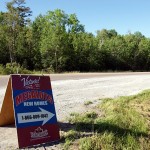
- Oh good, just what they need out here in the middle of nowhere: more subdivisions.
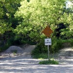
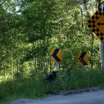
- At Davis Drive, the "no exit" sign is your first warning that there's trouble ahead.
- And Kennedy Road comes to an unceremonious end just north of Davis Drive. Well, not really. The paved road ends, but the road allowance continues as a trail through a portion of the York Regional Forest. It's open to hikers and mountain bikers, but be warned: it's not for the faint of heart. The paved road resumes less than two kilometres from here. If you're on a road bike, take the long way around on Warden or McCowan.
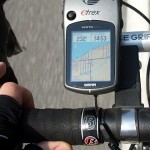
Curiously, my GPS and one of my paper maps say that the road continues straight through here without any interruptions. Fortunately, I already knew that they were wrong. But it just goes to show that you can't just blindly rely solely on GPS to get you where you're going.
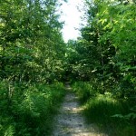
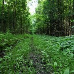
- The trail starts out as a well-maintained and seemingly well-used route.
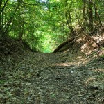
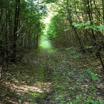
- The trail runs as straight as an arrow along the road allowance and carries you down into a forested valley. York Region told me that the trail had never been officially opened to vehicular traffic, though it may have been used informally by "horse and buggy."
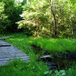
- At the bottom of the valley, a little wooden bridge carries hikers and cyclists across a small stream. This is a tributary of the Black River that eventually runs through Sutton before emptying into Lake Simcoe.
- Midway along the trail, and just before it starts going bad, you pass by one of the manicured fairways of the Pheasant Run Golf Club.
- There's a vehicular gate at the top of the hill here to give access to Pheasant Run, but it's above the grade of the trail and I don't see how it ever could have been used. Maybe they put it there in anticipation of Kennedy Road eventually being paved through the forest.
- Past Pheasant Run, the trail is still wide and well-defined, but is obviously less used. This is frequently an indication of some kind of physical barrier ahead.
- The trail is becoming a little more overgrown now, but is still easy to follow. Although I passed a couple of cars parked at the entrance, I haven't seen anyone else on the trail.
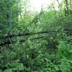
- The trail is still here. Somewhere. Fallen trees and dense undergrowth suddenly make the trail all but impassable. There's no easy way under or over these trees, and there's no obvious way around. Time for some bushwhacking.
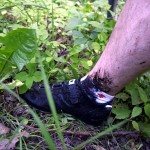
- Okay, now I understand why the trail began to look so disused leading up to here. To get around the trees, I had to push (then carry, then use as a battering ram) my bike through a muddy bog that grabbed me ankle-deep and almost sucked my shoes off. It took five minutes to progress 20 metres, being feasted on by mosquitoes all the way. Not my idea of fun. That five minutes was more exhausting than the entire rest of the ride to that point.
- The trail climbs out of the valley about 700 metres later, emerging at Herald Road. Asphalt never looked so sweet. It doesn't even matter that nature's tranquility is shattered by the constant tat-tat-tat-tat coming from the Sharon Gun Club across the street. This was the end of my first ride: I'd gotten through the trail on my mountain bike and had zero desire or energy to go any farther. I sat on the road for lunch and headed back home.
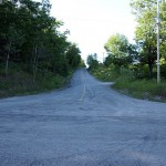
- At Herald Road, looking north up Kennedy. This is where I ended my first ride, and I continued up here on my second. It doesn't look like much, but this is the only the second hill in the last five years that I've had to walk up. It was thoroughly demoralizing. My other killer hill is Twyn Rivers in Scarborough.
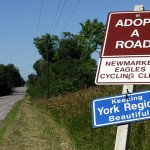
- Back on the open road, there's virtually no traffic from here. The Newmarket Eagles Cycling Club has adopted this section of the road.
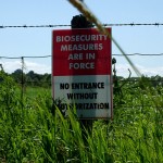
- It's kind of alarming to be riding along a quiet country road and suddenly see warnings about biosecurity. Thank you, avian flu.
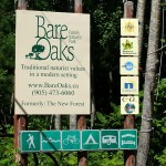
- Hmm, it looks like the Bare Oaks Family Naturist Park has cycling facilities. Tempting. Maybe on the way back.
- Man, even the birds are moving into subdivisions out here.
- It's either the world's largest, best-manicured lawn, or it's the back door to the Brouwer Sod Farm.
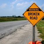
- Heed the sign, especially if you're on a bike. Stretches of Kennedy Road are riddled with potholes and can be difficult to ride.
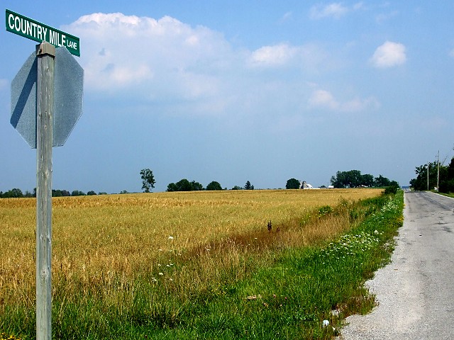
- The end of Kennedy Road is just a couple of country miles—less than 5 km—north of Country Mile Lane.
- GPS doesn't (usually) lie: there's water ahead and I'm heading straight for it.
- Kennedy Road enters a little cottage community with Lake Simcoe visible in the distance.
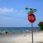
- Kennedy Road finally delivers me to its end at Lake Drive. Willow Beach on the south shore of Lake Simcoe beckons. Everyone into the water!
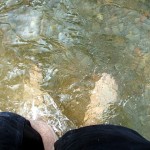
- I took a well-deserved soak at the beach while eating my lunch. Willow Beach is kind of peculiar. It's insanely narrow (the beach occupies just a few feet between the water and the road along most of its length) and unfathomably popular. I guess that any public access to the water is going to be popular, even if it's somewhat substandard. Anyway, it didn't stop me from getting my feet wet and relaxing before getting back on the saddle.
A version of this article originally appeared on Torontoist.
