Tour de Kennedy

hay-field-3423f

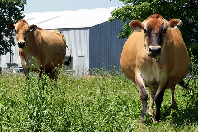
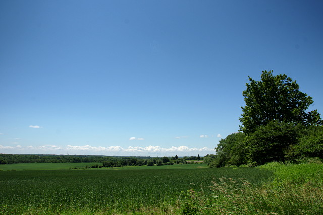
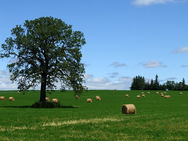
How long does it take to ride up Kennedy Road to Lake Simcoe? Almost two months, apparently. As I mentioned before, it took three attempts (and two bikes) starting at the end of June for me to complete this trip. Kennedy Road is an interesting contrast to Warden, just two kilometres to the west and my more usual route north: Kennedy seems much more wild, with fewer farms and estate houses, and more forest and overgrown meadows. Kennedy also has less industry than Warden, fewer golf courses, and less traffic. The downside is that it’s also somewhat poorly maintained, with many kilometres of the road through East Gwillimbury cratered with potholes and only haphazardly patched in a way that makes it rather bike unfriendly. Still, it’s a very peaceful ride. The landscape feels less constricted than on Warden, with several sweeping vistas that you don’t see from the other northbound routes.

country-mile-lane-3815f

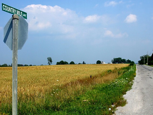
One of the things that I like most about riding out of the city is watching streets take on completely different characters. Two of my formative years were spent not too far from the foot of Kennedy Road in Scarborough, where it’s a sleepy residential street. Most people are familiar with the big box hell of Kennedy Road from Lawrence to Sheppard. That’s followed by the suburban thoroughfare of northern Scarborough and Markham, which gives way to a quiet concession road and a lazy country road before finally ending up at a beach in a little cottage area. It may all be one street, but it has at least eight distinct phases from beginning to end.

Before these rides, the only part of Kennedy north of Sheppard that I’d ever ridden on was the 400 or so metres between Ravencrest Road and Mount Pleasant Trail, where it forms part of a nice big diagonal shortcut from Woodbine to McCowan on the way to Sutton.

Read on for the full gallery treatment of my ride up Kennedy Road.

Read More …

Tour de Dufferin

Moo! These cows are really friendly to people who stop by for a visit.

There’s a lot to see on Dufferin Street before you get to the end of the road. Once you get out of the city and past the worst of suburbia, the street progresses through several distinct and varied phases as it marches north through horse farms and wooded valleys before running out of space in the heart of the Holland Marsh.

I started my trip (two trips, actually; one in a chilly rain and the other in glorious warmth and sunshine) at the TTC’s Downsview station, riding through a quiet industrial area before hopping onto Dufferin at Steeles and riding as far north as I could go.

Until I made this ride, I’d only ever seen Dufferin north of Steeles a handful of times, and always on my way to or from Pardes Shalom Cemetery (and once almost 20 years ago when I went to Eaton Hall for a wedding). I wasn’t expecting much, but was pleasantly surprised to find that the worst of the sprawl is, for the moment anyway, contained to the south of the cemetery and that the countryside really opens up to the north, allowing Dufferin to retain its rural feel.

The relentless march of suburbia to the south finally melts away into farmland as you pass through Vaughan

I’ll also add that we must have had a really good spring and summer so far because all of the vegetation—whether wild or farmed—was greener and lusher than I remember seeing in a long time. I wanted to stop for pictures almost constantly, which isn’t exactly the best way to get home on time.

I ride outside the city fairly frequently, but this was the first time that I stuck to a single road to its end and documented the journey. I’ll be doing it a few more times as the summer progresses. The gallery below contains the highlights from the Tour de Dufferin. Enjoy.

[Note: the gallery images may not display properly from an RSS reader. Please visit Dodgeville directly to view the gallery. I’m looking for an elegant solution to this, but I’m not sure that there is one.]

Read More …