There’s a lot to see on Dufferin Street before you get to the end of the road. Once you get out of the city and past the worst of suburbia, the street progresses through several distinct and varied phases as it marches north through horse farms and wooded valleys before running out of space in the heart of the Holland Marsh.
I started my trip (two trips, actually; one in a chilly rain and the other in glorious warmth and sunshine) at the TTC’s Downsview station, riding through a quiet industrial area before hopping onto Dufferin at Steeles and riding as far north as I could go.
Until I made this ride, I’d only ever seen Dufferin north of Steeles a handful of times, and always on my way to or from Pardes Shalom Cemetery (and once almost 20 years ago when I went to Eaton Hall for a wedding). I wasn’t expecting much, but was pleasantly surprised to find that the worst of the sprawl is, for the moment anyway, contained to the south of the cemetery and that the countryside really opens up to the north, allowing Dufferin to retain its rural feel.
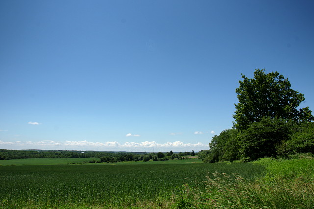
I’ll also add that we must have had a really good spring and summer so far because all of the vegetation—whether wild or farmed—was greener and lusher than I remember seeing in a long time. I wanted to stop for pictures almost constantly, which isn’t exactly the best way to get home on time.
I ride outside the city fairly frequently, but this was the first time that I stuck to a single road to its end and documented the journey. I’ll be doing it a few more times as the summer progresses. The gallery below contains the highlights from the Tour de Dufferin. Enjoy.
[Note: the gallery images may not display properly from an RSS reader. Please visit Dodgeville directly to view the gallery. I’m looking for an elegant solution to this, but I’m not sure that there is one.]
- The journey starts at Downsview station. We'll ride up other streets for a while and join Dufferin at Steeles.
- This Canadair CF-5 is mounted and on display on the periphery of Downsview Park as you roll up Sheppard.
- Motorland on Chesswood Drive. An apt name not only for the store, but for the entire street, which is lined with one automotive business after another.
- Even though it's Motorland up here, everyone still stops to let a family of Canada Geese cross the road. These were part of a much larger flock out for a Sunday stroll.
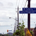
- Futurity Gate runs north off Steeles near Dufferin. It was first developed around the time that they ran out of street names.
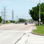
- Wow, just look at the size of that bike lane on Dufferin in Vaughan. Talk about your comfort lanes.
- Going up Dufferin through much of Vaughan is an exercise in depression. All of these interchangeable developments promise prestige and nature while delivering just another sprawling subdivision, each indistinguishable from the last if not for the ridiculous names.
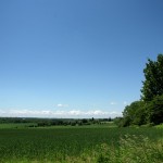
- The relentless march of suburbia from the south finally melts away into farmland as you pass through Vaughan
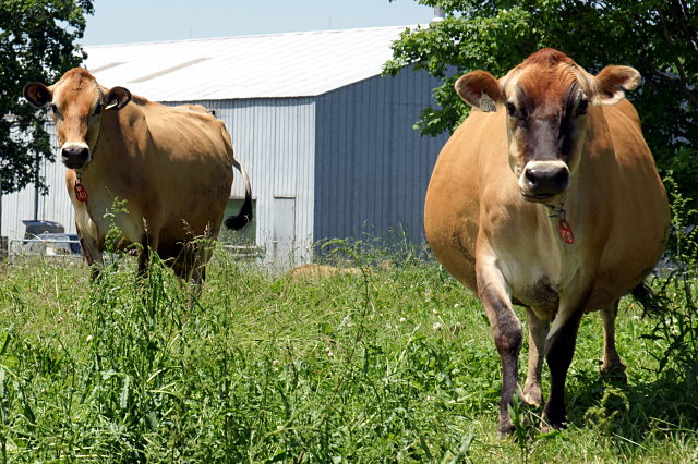
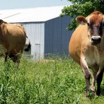
- Moo! These cows are really friendly to people who stop by for a visit.
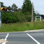
- At the intersection of Dufferin & King Road, they put in pedestrian signals and curb cuts, but forgot the sidewalks. This seems to be a common occurrence in the rural ring around Toronto.
- Just north of King Road, a piece of advertising/art announces the presence of a local construction company.
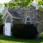
- St. Andrews Presbyterian Church is in the hamlet of Eversley in King Township.
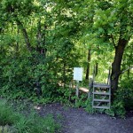
- The Oak Ridges Trail comes out to Dufferin from the King Campus of Seneca College. Following this trail through the campus will get you to the gorgeous Eaton Hall, the former summer home of the Eaton family.
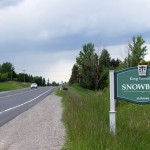
- No trip up Dufferin is complete without mentioning the hamlet of Snowball. So there you go.
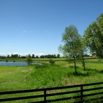
- As you leave the last bits of suburbia behind, King Township becomes serious horse country, and the horses who live out here have some of the best views and poshest paddocks around.
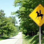
- Even the signs reflect King's serious horsiness: instead of depicting a normal rider shuffling along on some random horse, the warning signs show a hunter or show jumper doffing his cap at passing traffic while his horse trots across the road.
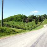
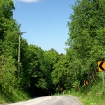
- North of the 18th Sideroad, Dufferin becomes a lazy country road, rolling along the hills atop the Oak Ridges Moraine.
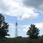
- The top of the Oak Ridges Moraine is marked by a communications tower at 18th Sideroad.
- Forget about that little discontinuity in Parkdale; the Real Dufferin Jog is on the approach to Highway 9 in King, where the road descends into a valley and begins a large semi-circle around the highway.
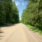
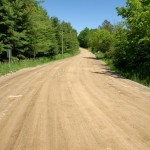
- Continuing into the Real Dufferin Jog, the street becomes a dirt road along the tree-lined floor of a very quiet valley.
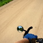
- Always check your rearview mirror. Scenery may be closer than it appears. We're still continuing toward Highway 9.
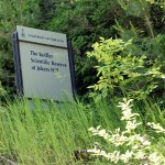
- Of all the things you expect to see out here, a U of T sign on an embankment high above your head that declares the location of the Koffler Scientific Reserve at Jokers Hill isn't one of them.
- The Real Dufferin Jog finally winds back up out of the valley, heading toward Highway 9.
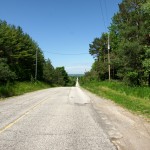
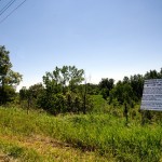
- North of Highway 9, Dufferin regains its pavement and descends into the Holland Marsh.
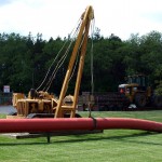
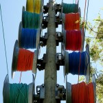
- Colourful spools of cable await deployment along a line of utility poles
- Controversial power plants are not exclusive to Toronto: The provincial government has designated this green space in the Holland Marsh, right beside prime farmland and directly across the road from a nature preserve as the location of a new gas-fired plant. Locals and concerned citizens are fighting it.
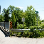
- Just a couple of kilometres from Dufferin's northern terminus is the intersection of King & Dufferin Streets. This one is a little quieter than its southerly counterpart.
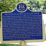
- A historic plaque in the hamlet of Ansnorveldt detailing the Dutch settlements in the Holland Marsh. It's funny that Dutch emigrants would move to Canada and seek out a low-lying marshy area with lots of canals that was quite similar to what they left behind. Also, I didn't realize that the Holland Marsh as a farming area was established as recently as the 1930s.
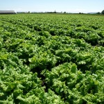
- The Holland Marsh is home to some of the most productive farmland in the country. With views like this, you just want to roll around in the food all day long.
- Workers tend to their crops.
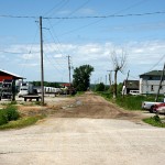
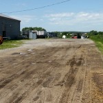
- Dufferin at Graham Sideroad. Just a few hundred metres of dirt road to go.
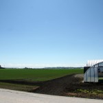
- This field looks ready to eat. After two hours in the saddle, it's difficult not to jump right in and eat my way through it.
- The last address on Dufferin: 19900.
- Le fin du Dufferin. Dufferin ends in a rubbish pile a few hundred metres north of Graham Sideroad.
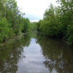
- Heading back east from Dufferin, this is one of many canals that branch off the Holland River, as seen from the intersection of Pumphouse Road and Graham Sideroad.
- The tour is over, but the journey is only half done: I still have to get all the way back home, starting here along Queensville Sideroad.
A version of this article originally appeared on Torontoist.




I’m familiar with those parts of Dufferin, and I think you did an awesome job with this! I really like your “let’s see where this road goes” posts.
Nice to see you trip up Dufferin Stree. The Koffler Scientific Reserve straddles the jog. You saw our sign, and now you can browse our website. cheers, Art Weis