Snow mountain revisited

Snow mountain revisited

All of the heavy equipment was parked at the other end of the lot when I revisited the Unwin Avenue snow dump this weekend, so there’s not much in these photos to establish scale. The top of that pile of white snow at the centre of the picture above is about 8 feet high, if that helps. Enough of the snow has already melted that what’s left is indistinguishable from a pile of dirt from a distance. As the spring progresses, it’ll become indistinguishable from a pile of dirt even close up. All of this will be melting untreated virtually straight into the lake. The Don is also in for a rough spring and summer with melt from the snow dumps in the valley almost guaranteed to foul the river through July.

Unwin snow mountain with Hearn Station & smokestack poking out from behind

Tumour on Snow Mountain

Where'd the snow go?

A mountain of snow from Toronto’s streets

Ever wonder where the snow goes after the parade of dump trucks takes it away? It goes to a dump like this one on Unwin Avenue, where the grey, brown, and black mess is currently piled at least four storeys high. Once here, it melts directly into the lake, releasing all of its contaminants untreated into the environment. Other dump sites drain directly into rivers and creeks before emptying into the lake.

River watching: couch potato edition

Camera watching for traffic jams on the Don River

The appearance of yet another traffic camera in the city is hardly remarkable. But it is a little unusual when that camera is watching traffic on the Don River just south of Pottery Road. Although it was used extensively for transportation in its almost-forgotten past, the Don is not exactly known for its 21st-century traffic jams and accidents.

The camera, installed about a year ago beside a gauge house that monitors river levels and flow, is actually used by Toronto and Region Conservation (TRCA) to provide visual correlation of data from other instruments. While a gauge may indicate only that river flow is lower than normal, the camera can see an ice dam. This camera is currently the only one in TRCA’s stable, but they’re trying to identify suitable locations for more.

TRCA monitoring station map from trcagauging.caNot only can TRCA monitor the Don—indeed, all of the rivers under its purview—from its Downsview offices, but thanks to a new public web site (login with username “public” and password “public”), you can play Conservation Authority from the comfort of your parents’ basement. For more than a dozen locations, you can view real-time results from monitoring gauges, or graph water level and flow trends over time. There’s even a version of the data optimized for viewing on your Blackberry. With practice, you’ll be able to tell when the Bayview Extension is flooding or when your new bridge is in danger of being washed out. And yes, you can even see the current view from that camera pointed up the Don. What more could a budding environmentalist, river geek, or curious writer ask for? The site is still under active development and will eventually have more features and display data from more gauge stations.

Most of this is probably not terribly exciting to the majority of people, but it’s notable as one of the few online government projects that gives the public access to detailed real-time information rather than just watered-down summaries after the fact. Most effort of this variety seems to be directed towards car drivers, showing not only camera views, but also providing analysis of current driving speeds. It’s a little refreshing to see agencies applying some of the same principles and technology to other uses.

Map from trcagauging.ca. Thanks to TRCA’s Don Haley for his assistance. A version of this article originally appeared on Torontoist.

Pottery Road: The original Toronto Bypass

Somewhat related to my previous post, Pottery Road has a little-known connection to another Toronto street: Davenport Road. The East York Library monograph Fascinating Facts About East York (and some of them really are, at least to east-end geeks like me) says that Pottery Road:

may have been a part of an old Indian trail that crossed the city along what is now Davenport Road and entered the Don Valley through the Rosedale Valley ravine. There are records of the Mississauga Indians having encamped on the Don near Pottery Road as late as 1831.

I always find it interesting that so much of our modern infrastructure follows old trails, watercourses, and terrain, even decades or centuries after after the old features have ceased to exist on any meaningful level. Technology may have brought us huge bridges across the valley and personal motorized transportation, yet there’s Pottery Road, tracing an old footpath in the Don and still used by thousands of people a day. Some things never change.

Old Pottery Road walking tour

Pottery Road

Frequent northbound travellers on the Bayview Extension have probably noticed the “Pottery Road” street sign pointing to a glorified supermarket driveway at the top of the hill, just south of Moore Avenue. Some may even have wondered how it relates to the more familiar street of the same name almost 1.5 kilometers to the south, winding up the valley wall to Broadview Avenue. The answer to this puzzle is that the two Pottery Roads used to be one, connecting Broadview and Moore Avenues, roughly following Cudmore Creek for much of its length.

Most of the road was abandoned when the Bayview Extension was constructed in the late 1950s. The section running from Broadview to Bayview was left mostly intact (and the top of it was later realigned to allow an easier climb out of the valley), as was a very short block at the northern end of the road, now flanked by parking lots for a supermarket and a bank.

What about the kilometer of the road that used to connect the two remaining sections? Unlike most abandoned roads that exist only for short stretches of their former selves, old Pottery Road is unique: its entire original route from Broadview to Moore is still open and can be hiked from beginning to end. Read on for the complete walking tour.

Read More …

Holding the bag

It seems a little weird that China can ban plastic shopping bags, but Ontario can’t. I’m just saying.

We’ve been using reusable shopping bags at the grocery store for about four years now, and I can’t say that I miss all of the extra plastic. Risa has taken it to the next level, almost always toting a bag or two for all of her other shopping. She’ll also unpackage her purchases in the store, leaving retailers to deal with their own detritus. It’s a small thing, but maybe they’d get the message if enough people did it.

The world has changed. You can too.

I just saw an interesting WWF-Canada commercial on TV. The spot is a series of vignettes of activities that have been considered normal at some point in the past: unrestrained kids jumping around and playing in a convertible moving down the highway, a doctor lighting a cigarette for a pregnant woman, a man patting his secretary’s behind after she brings a drink to his desk, and so on. It ends with the message, “The world has changed,” and a shot of a man in a suit carrying his bicycle out of his townhouse and starting his ride to work. “You can too.”Brilliant. This is exactly the kind of message needed to counter the head-in-the-sand viewpoints of people like Case “people won’t get out of their cars” Ootes and Roger “if you’ve got $1.8 million to spend I think you can find something better to spend it on than bike racks” Anderson. A few of us already think that those two should be on display at the ROM.The TV spot goes with a print campaign that echoes the “society has changed” idea and features the tagline, “Not long from now, the way we’ve been treating the planet will seem just as wrong.” We can only hope.

Into the wild

2007-11-20-tree-planting-0595f.jpg

The next time you’re exploring the wooded trails near the marsh in E.T. Seton Park, you may stumble upon a weathered sign overlooking a wet meadow. Still barely legible, it reads:

Trees in this area
were planted by the
Outing Club of East York
in honour of
Charles Sauriol
who was instrumental
in the preservation of
this valley
August 1980

The Outing Club of East York‘s Diane Vieira told me that in its early years, OCEY was very active in planting trees in and around Toronto, including at this location and others in the Don Valley. Unfortunately, they had to stop planting a number of years ago when they could no longer obtain trees from the Ministry of Natural Resources.

Charles Sauriol is best known to Torontonians—especially east enders and naturalists—as the man who spent virtually his entire life fighting to preserve and enhance the Valley’s natural heritage. His half-dozen books, including Remembering the Don, Tales of the Don, and Pioneers of the Don, together form the closest thing we have to a definitive cultural history of the Don Valley.

Named a member of the Order of Canada in 1989, Sauriol’s contributions have been recognized in parkettes, conservation areas, and even an annual fundraising dinner all named in his honour. I can’t help but think that of everything bearing his name, Sauriol would be most proud of the little sign that gets a little more lost in the budding wilderness of the Don each year.

Related: Joe Cooper wrote about OCEY in last week’s East York-Riverdale Mirror.

A version of this article originally appeared on Torontoist.

No future in petroleum, 1857 edition

I’m a little behind on my reading, but I couldn’t resist sharing this nugget of prognostication from the May 1857 issue of Scientific American:

We believe that no particular use is made of the fluid petroleum, from the ‘tar springs’ of California, except as a lotion for bruises and rheumatic affections. It has a pungent odor, and although it can be made to burn with a pretty good light, its smell is offensive. This, perhaps, may be obviated by distilling it with some acid; we believe that this is not impossible in this age of advanced chemistry. If the offensive odor could be removed, a valuable and profitable business might be carried on in manufacturing burning fluid from it.

This quote was published earlier this year in Scientific American‘s monthly “50, 100 & 150 Years Ago” feature, where they reprint snippets of interesting stories from back issues of “the oldest continuously published magazine in the U.S.” Pungent, offensive, and the basis of the modern world. Seems about right.

Lower Don trail reopens this weekend

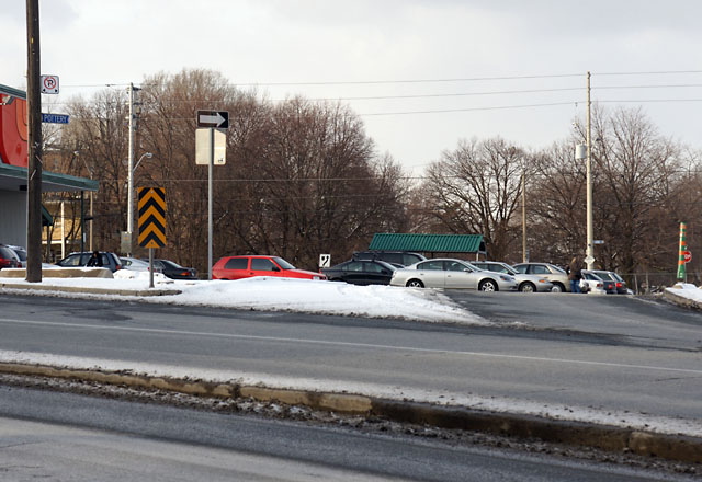
Cyclists rejoice! One of Toronto’s long-lost cycling routes is resurfacing this weekend when the Lower Don path south of Queen St. will reopen after 16 months of construction. Those attending the official ceremonies on Saturday morning should expect dignitaries, celebrities, balloons, a marching band, and…oh, wait a second. It turns out that for the reopening of a major bike and pedestrian path, all we get is some burly guy in an orange safety vest and a hard hat pushing aside a portable barrier. But the lack of an official event shouldn’t prevent cyclists from clinking their water bottles together in celebration.

Although the path may continue to look like a bit of a moonscape until landscaping is completed later this year or next, it’s already a huge improvement over what was there when construction began. The most visible upgrade for pedestrians and cyclists will be the elimination of the dingy, dangerous metal-grate underpass that seemed barely a couple of centimetres above the river most days. The ominous steel trap with bike-eating gates at both ends has been replaced by an at-grade underpass that can only feel palatial by comparison.

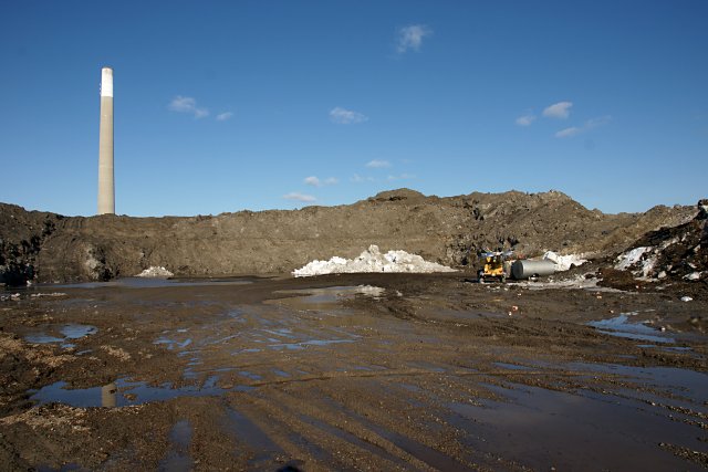
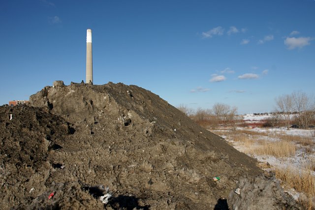
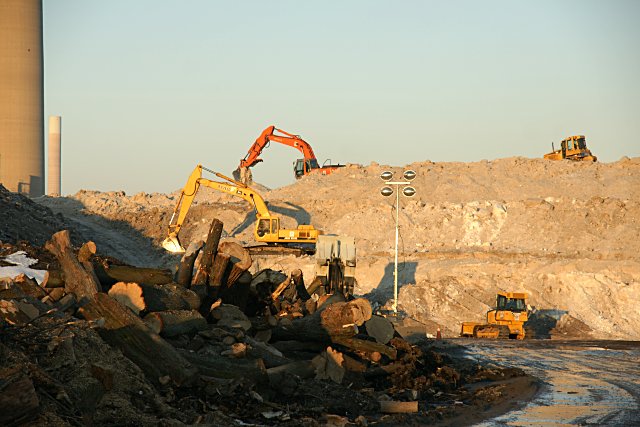
The bike path improvements are part of a much larger project that includes flood protection for downtown, access to a new park, and improved habitat for the three-headed fish that make their homes in the Don. You can get an appreciation for the size of the project from some of the pictures posted on Don Watcher. Many cyclists (myself included) weren’t happy to lose this important path for over a year, but the improvements may be worth the wait.

As for the marching band, there may be some kind of ceremony later this year after the pathway is landscaped. There will almost certainly be a media event when Don River Park opens on the other side of the tracks. That’s scheduled for sometime in 2008, but I can’t see it happening on time.

See Toronto Region Conservation‘s latest Lower West Don Newsletter (PDF) for more information about the flood remediation project. Don Watcher, who recently celebrated his second blogiversary, has done the most extensive reporting on the construction progress that I’ve seen.

A version of this article appeared on Torontoist.
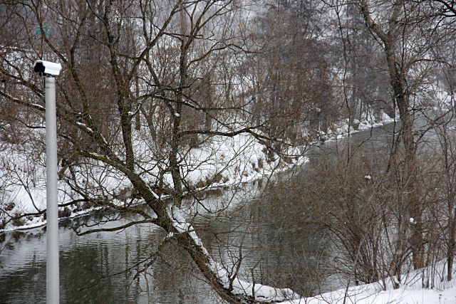