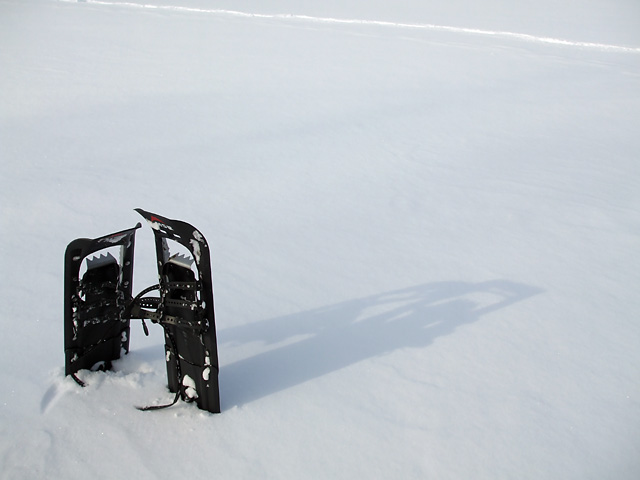
What’s the most fun you can have in the days following a big snowstorm?
Unlike many winter sports, snowshoeing is relatively inexpensive and requires little in the way of specialized equipment. Other than the snowshoes themselves—a decent pair costs less than a good pair of skates—you need only some warm layers of clothing, a sense of adventure, and as much time as your legs can stand.
It really couldn’t be any easier to learn, either: just strap on your snowshoes and start walking your way to an energizing workout. Or take a slower pace and explore corners of the park where you wouldn’t normally go.
With terrain varying from wide open fields to challenging forested hiking trails, Toronto’s Rouge, Don, and Humber Valleys (not to mention dozens of smaller ravines and parks around the city) offer prime snowshoeing opportunities without requiring travel outside the city. If you live or work close to a suitable park, snowshoeing is hard to beat as a lunchtime fitness activity. It’s mind-clearing and relaxing, and leaves you ready to tackle whatever boredom awaits you at the office in the afternoon.
The only real barrier to snowshoeing in the city is Toronto’s wimpy weather: with frequent thaw cycles throughout the winter, ideal snowshoeing conditions usually only last for a few days after a big storm before all the snow starts melting away into slush.
If you feel the need to go farther afield and escape the city, check out the offerings of a local organization like the Toronto Bruce Trail Club or Outing Club of East York for group snowshoe hikes through conservation areas or resorts outside the city. From the base of frozen Webster’s Falls to the top of Rattlesnake Point, there’s no shortage of snowshoeing challenges in and around the GTA. Sites outside Toronto usually hang onto their snow longer than we do in the city, but you should always check conditions at your destination before heading out.
What if you don’t have snowshoes and don’t want to buy them? You can always rent from the MEC or one of many winter resorts in southern Ontario. For those inclined to frugality or craftiness, there are do-it-yourself instructions available online for several different varieties of snowshoes. You have no excuse not to try it.
So what’s the most fun you can have in the days following a big snowstorm? Tobogganing, of course. Snowshoeing doesn’t even come close, but it’s still fun in its own way.
A version of this article originally appeared on Torontoist.

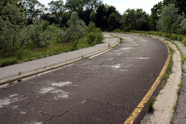
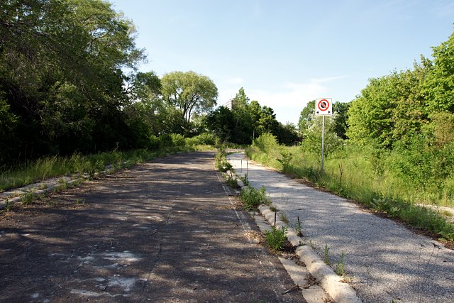
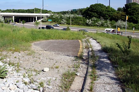 Although the subsequent landscaping at York Mills Road put the ramp’s remnants out of sight, the bulk of the road still sits behind the embankment, where it’s being slowly consumed by encroaching weeds. The posts that held up corrugated beam safety barriers around the perimeter of the ramp were cut down to the ground and a stone-lined drainage ditch has been dug across the roadway, but the ramp is otherwise intact to within a few metres of the highway.
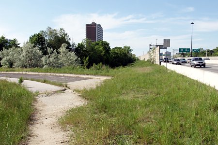 The current
  Now that I’ve finally
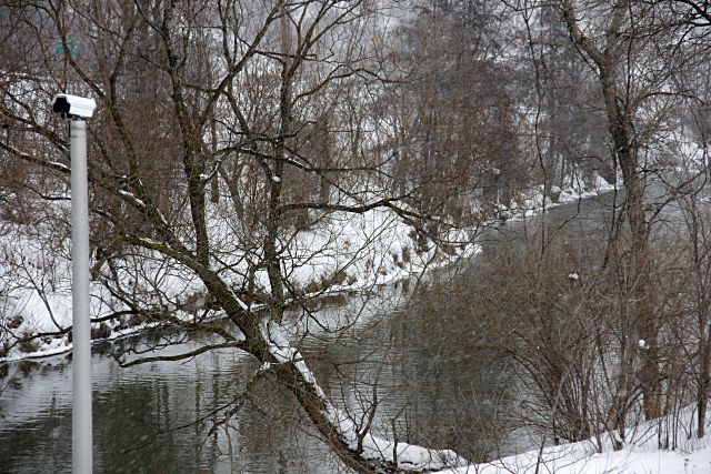
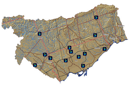 Not only can TRCA monitor the Don—indeed, all of the rivers under its purview—from its Downsview offices, but thanks to a new