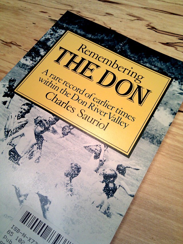
I’ve mentioned Charles Sauriol and his book Remembering the Don before in this space and have used it dozens of times to educate myself about the social history of the Don Valley. I’ve made more trips than I remember to the library to borrow Remembering the Don and Pioneers of the Don, both long out of print and seemingly destined to remain that way. So imagine my surprise when I saw a small stack of new copies of Remembering in Book City on Danforth today, selling for the princely sum of $3.99 each. I snapped one up without a second thought. I figured that someone had finally reprinted it, but as far as I can tell, this is a genuine first edition, first printing from 1981 and has probably just been sitting in a box in a warehouse somewhere for almost thirty years. I swear that I’ve scoured the city and online for new copies of this book with no luck before, but now even Amazon has a single copy in stock.
This gives me an opportunity to share a passage from Remembering the Don that forever altered my impression of voyageurs when I first read it some twenty years ago. I’d always thought of voyageurs as rough, hardy adventurers who criss-crossed the wild expanses of pre-Canada in the name of commerce. These were Real Men (and they would have been Real Women too, if any of them had been women) who would have made the Old Spice guy look like Rudy in Meatballs. Then I read Sauriol quoting artist Fred Finley on the voyageurs’ route through southern Ontario:
Each Spring, in the early nineteenth century, the traders of the great North-West Company of Montreal set out for their posts, scattered far across Canada. When their laden bateaux reached York—now Toronto—the voyageurs turned up the Don River, ascending it until they reached the juncture of the Don and Yonge Street. Here the boats were lashed to wheels and pulled bodily up the old road to the Holland River, where they continued their voyage by water to the West. Thus were trading goods carried far across the continent during Canada’s early years.
Sure, it takes a Real Man to paddle and portage his way across a wild continent. But what’s this guff about strapping their canoes to carts and wheeling them up Yonge Street? It seems like cheating.
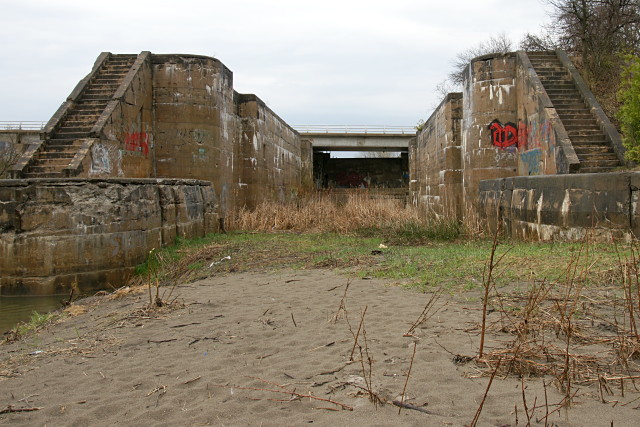
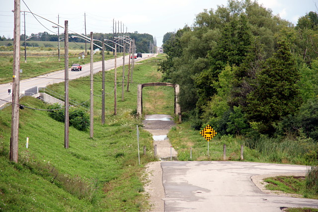
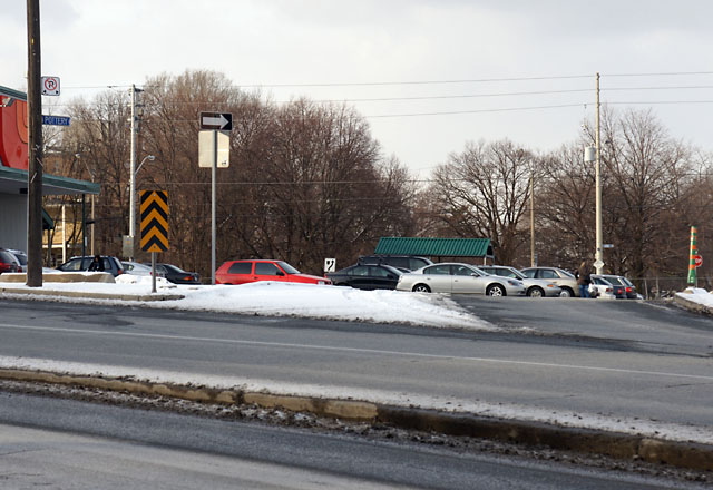
 Passmore Avenue looking west from west of Beare Road.
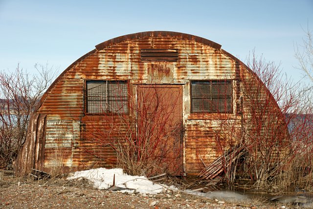