I’ve long thought that there must be some provincial regulation requiring municipalities to install pedestrian signals whenever they reconstruct a signalized intersection. I’m all for the idea, but implementations sometimes trend toward the bizarre.
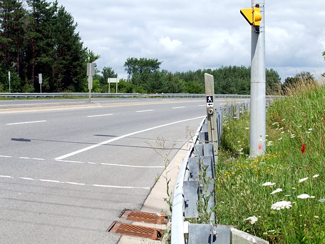
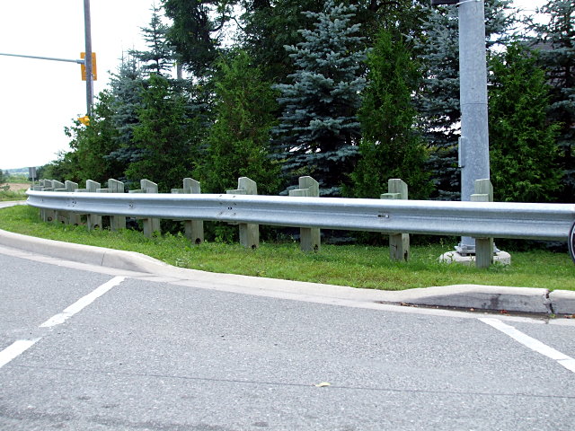
Take, for example, the intersection of Highway 7 and Westney Road in rural Pickering. It’s near the hamlet of Greenwood, with Valley View Public School just down the street and the Pickering Museum a country block away, but I highly doubt that more than a couple of pedestrians grace the intersection on the busiest of days. There are no sidewalks anywhere around here. Yet pedestrian signals and their activation buttons stand guard over each corner of the intersection, just waiting to be pressed by the hapless soul who finds himself lost here. So far so good. But when you look closer, you realize that with no sidewalks and corrugated beam barriers sheltering the buttons at three corners, the only way to activate them is to stand on the road. On the fourth corner, pedestrians have to climb a small weedy hill to press the button:
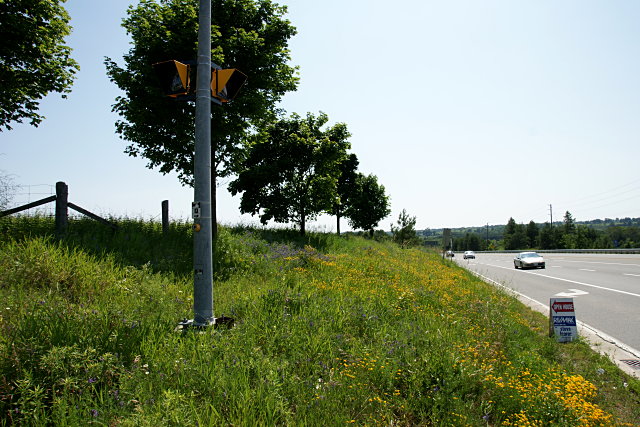
But even better than the activation buttons are the curb cuts, dutifully guiding people in wheelchairs and with baby strollers into the guardrails and onto non-existent sidewalks:
The whole thing smacks of some bureaucrat following the letter, but not the spirit, of the law.

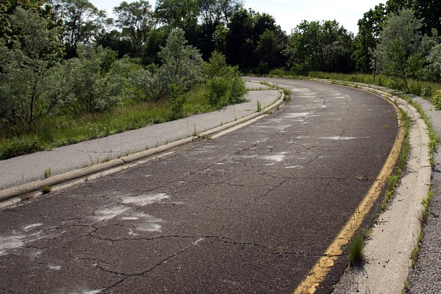
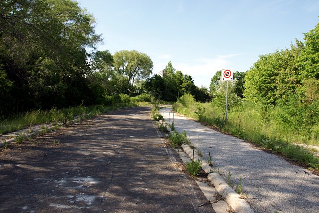
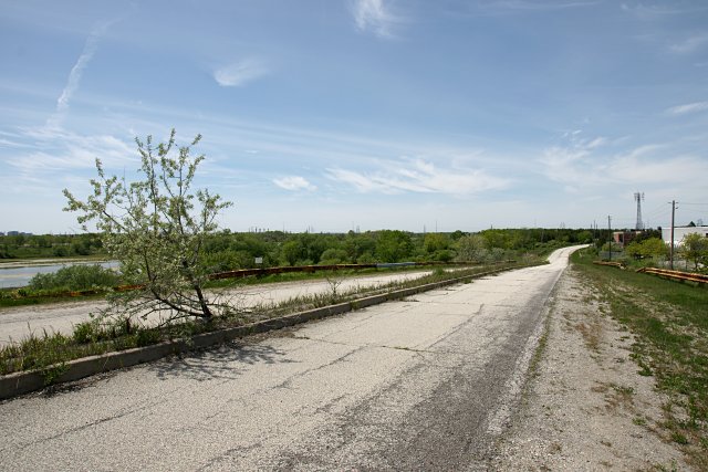
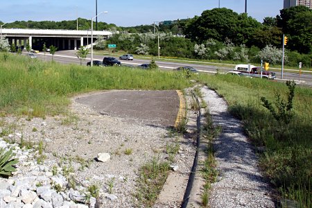 Although the subsequent landscaping at York Mills Road put the ramp’s remnants out of sight, the bulk of the road still sits behind the embankment, where it’s being slowly consumed by encroaching weeds. The posts that held up corrugated beam safety barriers around the perimeter of the ramp were cut down to the ground and a stone-lined drainage ditch has been dug across the roadway, but the ramp is otherwise intact to within a few metres of the highway.
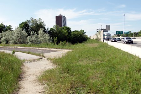 The current